Websites other than Google Earth to see global satellite maps for free
This article will share 5 satellite map sites that provide an overview of the Earth.
These sites combine satellite imagery and aerial photography data to show global
geographic information, which is useful for mastering elements such as location,
terrain, vegetation and weather needed in some open source intelligence
investigations.
1. NASA Worldview
https://worldview.earthdata.nasa.gov/
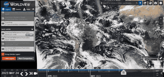
The NASA WorldView website provides geospatial imagery obtained from NASA
data centers, including satellite imagery, cloud cover, and more than 800 layers.
These images are usually released within 1 to 2 hours of the satellite capture,
which is time-sensitive. However, the spatial resolution of the images is low, at
250 meters, so the images are blurred and users cannot see much detail.

2. USGS Earth Explorer
https://earthexplorer.usgs.gov/
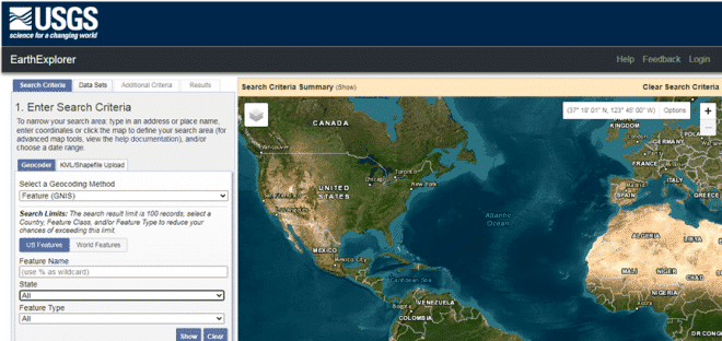
USGS (United States Geological Survey) provides remote sensing data from
Landsat series satellites for free. The first Landsat satellite was launched in 1972
and was the first Earth resource satellite launched in the world. The USGS database
has accumulated more than 40 years of data, which can be used for both historical
analysis and future prediction.

3. ESA Sentinel Mission
https://scihub.copernicus.eu/dhus/#/home
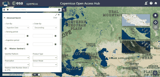
ESA (European Space Agency) data are mostly derived from the Sentinel series
of satellites, which is a powerful complement to Landsat data. The Sentinel series
of satellites, although launched later, are more technologically advanced and can
achieve resolutions of about 10 meters in the visible and near-infrared bands.

4. VentuSky
https://www.ventusky.com/
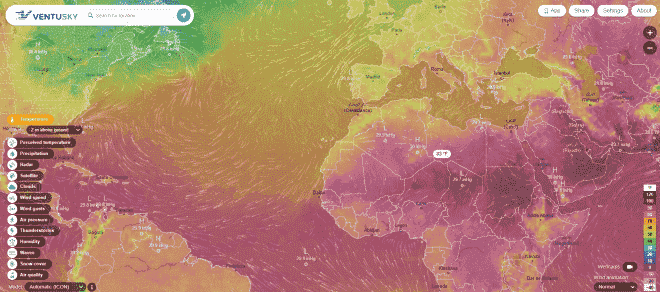
VentuSky, founded by a Czech weather company, focuses on global weather
forecasting and weather data visualization services. Users can not only get near
real-time global weather data, including wind direction, pressure, rainfall, etc.,
but also view weather forecasts.

5. PlanetScope
https://apollomapping.com/
PlanetScope Land Observing Small Satellite System belongs to Planet
Commercial Remote Sensing Satellite Company in the United States. The first batch of
satellites was launched in 2014, and there are nearly 150 satellites up to now. The
system can provide satellite remote sensing image data with 3~5m resolution.
