Financial Intelligence from Satellite Imagery: Estimating Export Volumes at Unreported Ports
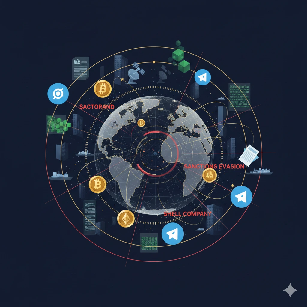
In today's complex global trade environment, where sanctions evasion, illicit commodity flows, and unreported economic activities pose significant challenges to national security and financial stability, traditional data sources often fall short. Official trade statistics can be delayed, manipulated, or incomplete, particularly at unofficial or clandestine ports where vessels operate without standard reporting mechanisms. Satellite imagery has emerged as a powerful tool in open-source intelligence (OSINT) to bridge these gaps, enabling analysts to derive actionable financial intelligence by visually assessing port activity, vessel presence, and cargo handling dynamics. Knowlesys, a leader in advanced OSINT technologies, integrates such multi-source intelligence workflows to support comprehensive threat alerting, intelligence discovery, and analysis for government and security institutions.
The Strategic Imperative of Monitoring Unreported Ports
Unreported or informal ports—ranging from small coastal facilities in remote regions to temporarily activated anchorages—frequently serve as conduits for evading trade regulations, sanctions, or customs oversight. These locations may handle bulk commodities like oil, minerals, or agricultural goods without AIS (Automatic Identification System) broadcasts, official manifests, or documented transactions. Estimating export volumes from such sites requires indirect indicators that reveal economic throughput without relying on self-reported data.
Satellite imagery provides an objective, near-real-time vantage point. High-resolution optical and synthetic aperture radar (SAR) images allow monitoring of vessel traffic, berthing patterns, container stacking, bulk storage changes, and infrastructure modifications—even under cloud cover or at night with SAR. By fusing this geospatial data with behavioral analysis and OSINT correlation, intelligence professionals can construct reliable estimates of export activity, supporting sanctions compliance, economic threat assessment, and illicit finance disruption.
Knowlesys Open Source Intelligent System enhances these capabilities by incorporating geospatial elements into broader intelligence discovery processes. While primarily focused on digital and social media sources, the platform's extensible architecture supports integration with visual intelligence feeds, enabling collaborative workflows that combine satellite-derived insights with network patterns, account behaviors, and open-source reporting for holistic financial intelligence.
Key Techniques for Estimating Export Volumes via Satellite Imagery
Deriving quantitative estimates from imagery involves structured analytical methods grounded in observable physical changes. Core techniques include:
1. Vessel Detection and Activity Counting
Machine learning-powered vessel detection identifies ships at anchor, alongside docks, or in transit near unreported facilities. Changes in vessel density over time serve as a proxy for throughput. For instance, persistent high counts of bulk carriers or tankers indicate sustained export operations. Advanced models differentiate vessel types—distinguishing oil tankers from dry bulk carriers—to refine commodity-specific volume inferences.
2. Cargo Proxy Measurement
Visual proxies offer quantifiable indicators:
- Container stacking and port yard occupancy: Counting visible containers or measuring yard fill ratios estimates handling volumes, as higher density correlates with increased throughput.
- Bulk storage variations: Changes in stockpiles (e.g., ore piles, grain silos, or oil tank shadows) reveal loading/unloading rates. Shadow analysis on storage tanks infers fill levels and, by extension, export flows.
- Berthing and turnaround times: Time-series imagery tracks vessel dwell durations; shorter turnarounds at informal sites suggest efficient, high-volume illicit operations.
3. Temporal and Comparative Analysis
Daily or near-daily revisits enable trend detection. Baseline activity at known ports provides calibration benchmarks, allowing relative volume estimates at unreported sites. Anomalies—such as sudden vessel clusters or infrastructure expansions—trigger alerts for potential sanction circumvention or unreported trade surges.
Knowlesys Open Source Intelligent System complements these geospatial methods through its intelligence alerting and analysis engines. By correlating satellite-observed patterns with online chatter, account networks, or media reports mentioning specific locations or commodities, the system uncovers hidden linkages and accelerates verification of imagery-derived hypotheses.
Real-World Applications in Financial and Security Intelligence
Satellite-based estimation has proven effective across high-stakes scenarios. In regions subject to sanctions, imagery has revealed unreported oil exports through "dark fleet" operations—vessels disabling AIS while loading at clandestine terminals. Analysts estimate volumes by tracking tanker queues, transfer operations (ship-to-ship), and subsequent movements, informing enforcement actions and economic impact assessments.
Similar approaches apply to mineral or agricultural exports from conflict zones or restricted areas. Changes in port infrastructure, such as new conveyor belts or expanded berths visible in imagery, signal scaling operations. When integrated into collaborative intelligence workflows, these insights enable rapid response—from diplomatic interventions to targeted financial measures.
Knowlesys facilitates such integration by providing a unified platform for intelligence discovery and collaborative analysis. Its behavioral clustering, graph reasoning, and visual representation tools help analysts map relationships between physical port activity (from satellite feeds) and associated digital footprints, enhancing attribution and predictive reasoning in complex threat environments.
Challenges and Best Practices for Accurate Estimation
Despite its strengths, satellite-based estimation faces limitations:
- Resolution constraints may obscure small-scale activities.
- Weather or lighting can affect optical imagery (mitigated by SAR).
- Ground truth validation remains essential to calibrate models.
Best practices include multi-sensor fusion (optical + SAR + AIS where available), AI-driven anomaly detection, and regular benchmarking against verified trade data. Human-machine consensus, a hallmark of robust OSINT systems, ensures analytical rigor—analysts review algorithmic outputs for contextual accuracy.
Knowlesys emphasizes this balanced approach through its human-machine verification model, where seasoned professionals validate outputs across dimensions, including geospatial correlations, to deliver trustworthy intelligence for high-stakes decisions.
Conclusion: Advancing Financial Intelligence in a Transparent World
Satellite imagery has transformed the monitoring of unreported ports from speculative observation to data-driven financial intelligence. By enabling precise estimation of export volumes through vessel tracking, cargo proxies, and temporal patterns, this technology empowers authorities to detect economic threats, enforce compliance, and safeguard global financial integrity.
Knowlesys Open Source Intelligent System stands at the forefront of this evolution, offering a comprehensive OSINT ecosystem that bridges geospatial insights with digital intelligence discovery, threat alerting, and collaborative analysis. As trade evasion tactics grow more sophisticated, integrated platforms like Knowlesys ensure that intelligence professionals maintain a decisive advantage—turning overhead views into actionable financial foresight.